
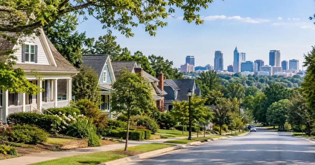
Choosing where to live in Raleigh, NC is less about finding one universally “best” neighborhood and more about finding the part of the city that fits your actual week. A buyer who works downtown, a buyer commuting to Research Triangle Park, and a buyer who wants a larger single-family home may all build very different shortlists even when their budgets are similar.
Raleigh is a large and growing city. The U.S. Census Bureau estimated 506,306 residents as of July 1, 2025, up 8.2% from the April 2020 estimates base. Instead of choosing an area from a generic ranking, start with commute, housing type, daily destinations, and the property details that matter most to you.
| Quick answer: For a more urban routine, compare Downtown and close-in central areas. For historic housing and older residential streets, look at Five Points and nearby districts. North and Northwest Raleigh can make sense when you prioritize suburban housing, greenway access, or routes toward RTP and RDU. West Raleigh can fit buyers who want access to NC State and Lake Johnson, while East and Southeast Raleigh offer a different mix of established housing, new development, greenways, and changing transit corridors. |
Start With the Raleigh Area That Fits Your Routine
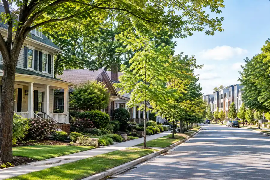
| Area to Compare | Housing Pattern | Why Buyers Look Here | What to Verify |
| Downtown / Central Raleigh | Condos, apartments, townhomes, some historic housing nearby | Downtown offices, restaurants, civic and cultural destinations | Parking, HOA or condo fees, building rules, street activity |
| Five Points / close-in historic areas | Older single-family homes, bungalows, historic housing stock | Close to central Raleigh with established residential streets | Historic overlays or property restrictions, renovation needs, lot size |
| North / Midtown Raleigh | Single-family homes, townhomes, apartments, mixed-use pockets | Access to North Hills, Six Forks, Falls of Neuse, I-440 and I-540 corridors | Exact commute, redevelopment, walkability varies block by block |
| Northwest / Brier Creek | Townhomes, apartments, subdivisions, newer housing in some pockets | Convenient orientation toward RDU, RTP and I-540 | Airport or roadway proximity, HOA terms, commute at peak times |
| West / Southwest Raleigh | Older homes, townhomes, condos, apartments, mixed housing | NC State, Western Boulevard, Lake Johnson and west-side routes | Student-oriented pockets, traffic patterns, property age |
| East / Southeast Raleigh | Established homes, newer development, townhomes and varied housing | Downtown access, New Bern corridor, Walnut Creek and Neuse connections | Active development, BRT construction, property-specific zoning and future plans |
This is an orientation table, not a ranking. Raleigh has hundreds of registered neighborhood groups, and boundaries do not always line up neatly with the way real estate listings describe an area. The City of Raleigh maintains a Neighborhood Registry and map that can help you understand recognized neighborhood groups and locations.
Downtown and Central Raleigh: For a More Urban Daily Routine
Downtown is the clearest place to start if you want to be near central offices, government, restaurants, entertainment, and major civic destinations. The City of Raleigh downtown page describes downtown as a place where business, government, culture, housing, and public investment come together. City planning also supports dense, mixed-use development in the central business district.
The tradeoff is that the housing search looks different from a suburban single-family search. Condos, apartments, townhomes, parking arrangements, building rules, and monthly association costs can matter more. If you are buying a condo, read the association documents, insurance information, reserve information, and any current assessments before treating the list price as the full cost of living there.
Downtown also changes quickly, so check current construction and street projects when evaluating a specific block. A short distance on a map can feel very different depending on parking, one-way streets, construction, and how often you expect to drive.
Five Points and Close-In Historic Areas: For Older Homes and Established Streets
Five Points is useful to compare if you prefer older housing stock and close-in residential streets rather than a newer subdivision pattern. City historic-district records show several early twentieth-century neighborhoods around the Five Points intersection, including Bloomsbury, Hayes Barton, Roanoke Park, and Vanguard Park. The City of Raleigh historic district resources are a better source for property and district context than a lifestyle ranking.
Architecture and property condition can vary substantially from house to house. An older home may offer details and lot patterns that are hard to find in newer construction, but inspection, renovation history, drainage, systems, and any historic overlay requirements deserve careful review. The City also notes that pedestrian and transit improvements around Five Points remain an active planning topic, so current street conditions should be checked rather than assumed.
North and Midtown Raleigh: Compare Housing With Access to Major Corridors
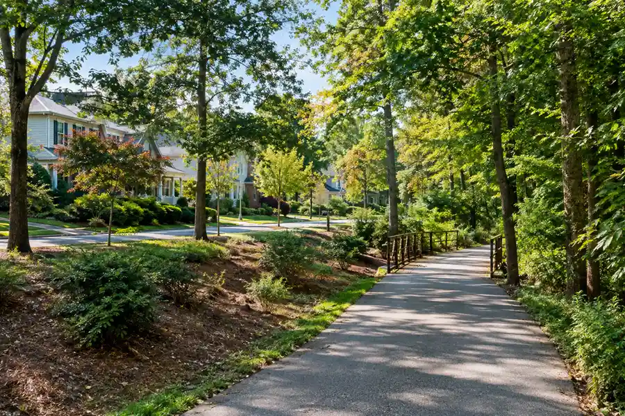
North Raleigh covers a broad area rather than one single neighborhood. Buyers often compare locations along or near Six Forks Road, Falls of Neuse Road, Creedmoor Road, and I-540 based on work location and the type of home they want. Midtown adds more mixed-use development and a growing emphasis on pedestrian and bicycle connections.
The Midtown-St. Albans Area Plan calls for projects intended to create a more walkable Midtown, including new greenway and pedestrian connections. That planning direction is useful context, but walkability still varies block by block. Test the route from a specific home to the places you would actually use.
Outdoor access is another reason some buyers compare northern areas. The Crabtree Creek Greenway runs 18 miles and connects destinations including North Hills Park and other greenway trails. Raleigh has more than 100 miles of greenway trails citywide, so the practical question is not just whether a trail is nearby, but whether the home has convenient access to an actual trailhead or connection.
Northwest Raleigh and Brier Creek: Useful for RTP and RDU-Oriented Schedules
Northwest Raleigh and Brier Creek are worth comparing when your routine points toward Research Triangle Park, Raleigh-Durham International Airport, I-540, or the western side of the Triangle. The area includes a mix of apartments, townhomes, subdivisions, retail, and community facilities. The City operates Brier Creek Park at 10810 Globe Road, which helps illustrate how this part of Raleigh sits close to RTP-oriented travel patterns.
Do not choose the area based only on airport or RTP proximity. Drive the exact route during the hours you expect to travel, check aircraft and highway noise at the property, and read HOA documents when applicable. If frequent air travel matters, RDU publishes its current and scheduled nonstop destinations so you can confirm whether the airport actually supports the trips you make most often.
West and Southwest Raleigh: Compare NC State Access, Parks, and Mixed Housing
West and Southwest Raleigh can be a practical search area for people who need access to NC State, Western Boulevard, I-40, or west-side employment destinations. Housing varies widely, so the same search can surface older single-family homes, condos, townhomes, and apartments depending on the exact location.
One useful local feature is Lake Johnson Park, a 500-acre city park with paved and natural-surface trails and a 150-acre lake. If park or trail access is part of your move, verify the actual entrance and route from the property rather than relying on straight-line distance.
Because this side of Raleigh includes university-oriented areas as well as long-established residential pockets, visit at the times you expect to be home. Traffic, parking, and activity can change noticeably between weekdays, evenings, and weekends.
East and Southeast Raleigh: Watch Development and Transit Changes
East and Southeast Raleigh include a broad mix of established neighborhoods, newer construction, redevelopment, and major transportation projects. The New Bern Avenue corridor is especially important to watch because the City is actively building its first Bus Rapid Transit corridor, connecting downtown with WakeMed and New Hope Road. Current New Bern Avenue BRT updates show construction underway in 2026.
For recreation, the Walnut Creek Greenway Trail extends more than 15 miles from Lake Johnson Park to the Neuse River Trail. These connections can be meaningful, but future development, zoning, and construction should be evaluated at the property level. The City recommends using its official zoning tools when you need to understand what can be built on or near a particular parcel.
How to Choose Between Raleigh Areas Without Guessing
A productive home search starts with objective criteria. Before you tour, rank the factors that would actually change your decision. That makes it easier to compare two homes that look similar online but function very differently in daily life.
- Commute: test the address to work, school, RDU, RTP, downtown, and other weekly destinations at realistic travel times.
- Housing type: decide whether you prefer a condo, townhome, older single-family home, newer subdivision, or new construction.
- Property condition: compare age, systems, renovation quality, drainage, lot characteristics, and maintenance needs.
- HOA or condo obligations: review dues, rules, reserves, insurance, amenities, and any current or planned assessments.
- Future development: use Raleigh zoning and planning resources to check nearby land use, rezoning, and major infrastructure projects.
- Outdoor access: verify the actual park, greenway, trailhead, or facility you would use, not just proximity on a map.
- School assignment: if relevant to your household, verify the exact address through WCPSS rather than relying on listing text.
For zoning and development questions, the City of Raleigh says the most accurate way to identify zoning is through iMAPS and the Find My Zoning process. This matters if nearby development potential, density, or land use would affect your decision.
What About Schools?
If public-school assignment matters to your purchase, check the exact property address. Wake County Public School System states that base schools are assigned according to the student’s residence. Its official address lookup can show elementary, middle, and high school base assignments, calendar information, transportation details, and enrollment-cap information where applicable.
Avoid choosing a neighborhood from subjective school rankings alone. Verify the assignment, program options, transportation, and current district information that are relevant to your household. Assignment plans can change, so recheck when your move is tied to a future school year.
Should You Look Outside Raleigh?
Sometimes the answer to “where to live in Raleigh” is to widen the map. Cary, Apex, Morrisville, Holly Springs, Wake Forest, Garner, Knightdale, Wendell, Rolesville, and other Triangle communities can offer different combinations of commute, housing age, lot size, development pattern, and access to work. Patty Owens’ Raleigh and Triangle Communities page is the natural next step if you are comparing city and suburban options rather than limiting the search to Raleigh city limits.
If you are ready to move from area research into an actual home search, the Buyers page explains how Patty approaches the buying process, while her About page provides background on her Raleigh and Research Triangle experience.
Frequently Asked Questions
What part of Raleigh is best for a short downtown commute?
Central Raleigh and nearby close-in areas generally reduce distance to downtown, but actual travel time depends on the specific address, route, parking, and time of day. Test the commute from the property rather than choosing by neighborhood name alone.
Where should I live in Raleigh if I work in Research Triangle Park?
Compare Northwest Raleigh and Brier Creek with nearby communities such as Cary and Morrisville, then test the exact trip to your workplace. RTP is large, so two employers inside the park can produce different commute patterns.
Where can I find older homes in Raleigh?
Close-in areas such as Five Points and several historic districts contain early and mid-twentieth-century housing. Property age, condition, renovations, and any historic or zoning rules should be reviewed house by house.
Where can I find Raleigh homes near greenways?
Raleigh has more than 100 miles of greenway trails, including Crabtree Creek, Walnut Creek, Neuse River, and other connections. Use the City’s current Greenway Explorer to confirm trailheads and access points near a property.
How do I check the assigned public schools for a Raleigh address?
Use the Wake County Public School System base-school assignment lookup. It is address based and can show current assignment, calendar, transportation, and other assignment information.
Is Raleigh walkable?
Walkability varies considerably. Downtown and some mixed-use or close-in areas support more trips on foot than many outer residential areas. Evaluate the exact home-to-destination route rather than assuming the whole neighborhood is walkable.
The Right Raleigh Area Is the One That Fits Your Real Week
There is no single answer to where to live in Raleigh, NC. Downtown, Five Points, North Raleigh, Brier Creek, West Raleigh, and East or Southeast Raleigh each create a different daily routine. A useful decision comes from matching an address to your commute, housing preferences, recurring destinations, and property-level due diligence.
If you are relocating and want help turning those priorities into a focused shortlist, Patty Owens works with buyers across Raleigh, Wake County, and the wider Research Triangle. Start with the places you need to be, the type of home you want, and the tradeoffs you are comfortable making. The search becomes much clearer from there.