
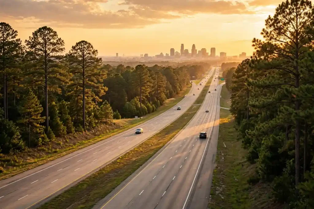
Raleigh, NC is about 12 miles from Cary, NC by car, and the drive takes roughly 15 to 20 minutes in normal traffic. In a straight line the two city centers are only about 8.1 miles apart, and at their closest point the answer is even simpler: Raleigh and Cary share a border, so parts of west Raleigh sit directly against Cary with no gap at all. That closeness is exactly why so many people live in one and work, study, or play in the other. This guide breaks down the real numbers by route, by time of day, and by the trips people actually make, including the airport and Research Triangle Park. If you are weighing the two communities as places to live, our full Raleigh vs Cary comparison for home buyers covers prices, taxes, and schools; this page covers the geography that connects them.
Quick answer: Downtown Raleigh to downtown Cary is about 11.7 miles of driving (18.9 km) and about 8.1 miles (13 km) in a straight line. Expect 15 to 20 minutes off peak, 18 to 20 minutes to Downtown Cary Park from the center of downtown Raleigh according to Visit Raleigh, and considerably longer at rush hour. West Raleigh is the halfway point. The cities touch each other, so neighborhood to neighborhood trips can be as short as 5 minutes or, from far west Cary to east Raleigh, closer to 45 minutes in traffic.
1. The short answer: miles and minutes
| Measure | Distance or time |
| Straight line, city center to city center | About 8.1 miles (13 km) |
| Driving, downtown Raleigh to downtown Cary | About 11.7 miles (18.9 km) |
| Typical drive, off peak | About 15 to 20 minutes |
| Downtown Raleigh center to Downtown Cary Park | About 18 to 20 minutes by car (Visit Raleigh) |
| Border to border | 0 miles. The two municipalities touch |
| Halfway point | West Raleigh, about 4.3 miles from downtown Raleigh |
| Far west Cary to downtown Raleigh | About 18 to 22 miles, depending on the neighborhood |
Distance figures are from MapsOf road network data, which puts the free-flowing drive at about 14 minutes. Real trips take a little longer once you add signals, parking, and ordinary traffic, which is why local guides and Visit Raleigh land in the 15 to 20 minute range. Treat every time in this article as a normal-traffic estimate, not a promise; Section 4 covers what rush hour does to them.
2. Why your trip may be longer than 12 miles
Twelve miles is the downtown to downtown number, and almost nobody actually makes that exact trip. Raleigh covers nearly 150 square miles and Cary spreads across roughly 60, so your real distance depends entirely on which corners of each you are connecting. A home in west Raleigh near the Lenovo Center can be in Cary in about 5 minutes. A home in far west Cary, out toward Amberly and the Jordan Lake side, is 18 to 22 miles from downtown Raleigh. East Raleigh to west Cary is the longest common version of this trip and can run 25 miles or more before traffic.
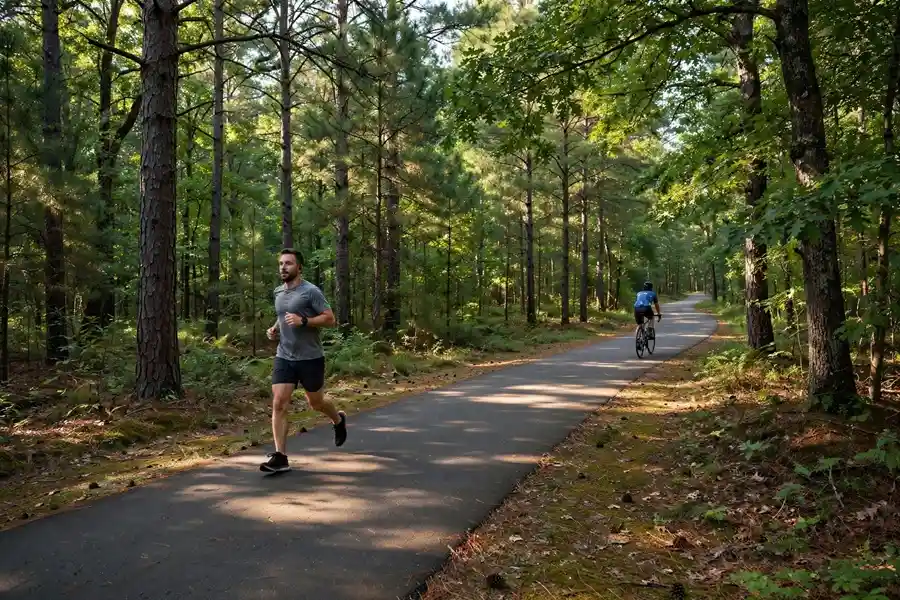
The geography in between explains the feel of the drive. Directly between the two downtowns sits William B. Umstead State Park, a roughly 5,000 acre forest with a Cary entrance on Harrison Avenue and a Raleigh entrance on Glenwood Avenue. The park is why the trip feels like a short highway hop through the woods rather than a drive through continuous suburbs, even though the developed parts of the two communities have long since grown together around it. Our guide to what cities are in Wake County maps how Raleigh, Cary, and their neighbors fit together.
3. The main driving routes
| Route | Best for | What to expect |
| I-40 and Wade Avenue | Downtown Raleigh to north and central Cary | The default route most of the day. Fast off peak, and the first to slow at rush hour, especially near the Wade Avenue split. |
| US-1 and US-64 | Downtown and south Raleigh to south Cary | The natural route for the Cary neighborhoods along Cary Parkway and Kildaire Farm Road, and for continuing toward Apex. |
| I-440 (the Beltline) and Western Boulevard | West Raleigh, NC State, and the Lenovo Center area | Skips downtown entirely. Often the smartest choice for NC State, the fairgrounds, and arena events. |
| NC-540 (Triangle Expressway, toll) | West Cary to north Raleigh and the airport | A paid shortcut that trades tolls for a calmer drive. Worth it on the worst I-40 days and for airport runs from west Cary. |
| Surface roads: Hillsborough Street, Cary Towne Boulevard, Western Boulevard | Short hops between west Raleigh and east Cary | Slower speeds but no highway merging. The everyday route for neighbors who live near the shared border. |
One local habit is worth copying: Triangle drivers talk in minutes and routes, not miles. Before any trip that matters, check a live traffic app and pick between I-40 and US-1 on the day, because an incident on one rarely slows the other.
4. Rush hour and event day reality
The 15 to 20 minute figure assumes ordinary traffic. The standard peak windows, roughly 7 to 9 a.m. and 4 to 6:30 p.m. on weekdays, push the same drive to around 30 minutes in typical conditions, and local commuter guides report 35 to 50 minutes on genuinely bad mornings, with the evening peak running longer still. The choke points are consistent: I-40 near the Wade Avenue split, the I-40 and US-1 merge area, and the interchanges serving Research Triangle Park.
Events add their own spikes. The Lenovo Center and Carter-Finley Stadium sit in west Raleigh, only about 4 to 5 miles from Cary’s eastern neighborhoods, and NC State game days, concerts, and the State Fair fill Western Boulevard and the I-40 exits well beyond the arena itself. If your commute or your showing schedule crosses west Raleigh on an event day, build in a buffer or take the Beltline. And if you are testing this drive as a future commute, test it honestly: leave at 8 a.m. on a Tuesday, not at noon on a Sunday.
5. Distances people actually ask about next
| Trip | Distance or typical time |
| Cary to Raleigh-Durham International Airport (RDU) | Northern Cary is about 4 miles from the airport area (a Harrison Oaks Boulevard hotel lists RDU at 4 miles). Most Cary addresses reach the terminals in roughly 15 to 25 minutes, passing Morrisville. |
| Downtown Raleigh to RDU | About 11 miles, roughly 15 to 20 minutes off peak. |
| Cary to Research Triangle Park | Cary borders Morrisville at the Park’s southern side. Many Cary addresses reach RTP offices in about 15 to 25 minutes depending on traffic. |
| Downtown Raleigh to Research Triangle Park | About 20 to 35 minutes from most Raleigh neighborhoods, depending on traffic. |
| Cary to NC State University and the Lenovo Center | About 4 miles from Cary’s Harrison Oaks area to both NC State and the Lenovo Center; Carter-Finley Stadium about 5 miles. |
| Cary to Durham | About 18.9 miles, roughly 22 minutes in normal conditions. |
The pattern to notice: Cary sits slightly closer to the airport and the Park, and Raleigh sits closer to everything east, including its own downtown, the fairgrounds, and the road to the coast. Neither advantage is large, which is why the live-in-one, work-in-the-other arrangement works so well here. If the airport is a weekly part of your life, our Raleigh relocation guide breaks down the neighborhoods that make airport runs easiest.
6. Getting between Raleigh and Cary without a car
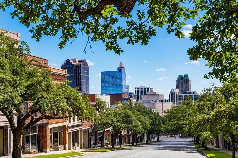
Driving is the default, but it is not the only option. GoTriangle Route 300 runs between Cary Depot and downtown Raleigh with 17 stops, and the full trip takes about 36 minutes, with buses roughly every 30 minutes. It is a workable commute for downtown to downtown trips and an easy way to reach NC State and the fairgrounds corridor without parking.
The train is faster than most newcomers expect. Amtrak’s Carolinian connects Cary station, at 211 North Academy Street in the middle of downtown Cary, with Raleigh Union Station in about 18 minutes, and state-supported Piedmont trains run the same corridor. For a downtown to downtown trip at the right hour, the train beats the highway and skips parking entirely.
Cyclists have the prettiest route of all. The Reedy Creek corridor runs through Umstead State Park on a wide gravel path described by AllTrails as connecting Cary and Raleigh, and on the Raleigh side the Reedy Creek Greenway continues past the NC Museum of Art toward Meredith College, while the Cary side links into the Black Creek Greenway and the town’s wider greenway system. It is a recreation route rather than a rush hour solution, but it means the two cities are connected by forest trail as well as freeway. Riders who love that access tend to fall for the neighborhoods along it, which our guide to where to live in Raleigh, NC explores in detail.
7. What this distance means if you are house hunting
For buyers, the honest summary is that 12 miles is close enough that the Raleigh versus Cary decision is almost never about the drive. Living in Cary and working in Raleigh, or the reverse, is one of the most common arrangements in the Triangle, and the two communities share more than a border. Most Cary addresses sit in Wake County, which means the same Wake County Public School System as Raleigh; only Cary’s smaller Chatham County portion is assigned to a different district. Property tax rates are close too: a combined 90.46 cents per $100 in Cary versus 90.91 cents in Raleigh for 2026.
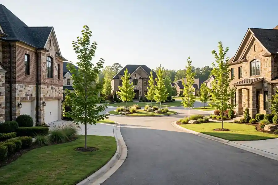
Where the distance does bite is in the details. Home prices differ far more than drive times: Zillow’s typical home value was about $620,000 in Cary versus $428,671 in Raleigh in late 2026, so the real question is what the extra money buys you in space, schools, and neighborhood feel. Our Raleigh vs Cary comparison for home buyers works through that math, and the communities overview shows where Patty’s buyers most often land. Two practical tips close this section. First, shop by neighborhood and route, not by city name: a west Raleigh home can be closer to downtown Cary than a west Cary home is. Second, drive your exact future commute at 8 a.m. and 5 p.m. before you write an offer. Twelve easy miles at noon can be a very different promise at rush hour.
Frequently asked questions
How far is Raleigh, NC from Cary, NC in miles?
About 12 miles by road between the two downtowns (11.7 miles, or 18.9 km, by road network data) and about 8.1 miles (13 km) in a straight line. At the closest point the distance is zero: Raleigh and Cary share a municipal border in west Raleigh.
How long does it take to drive from Cary to Raleigh?
About 15 to 20 minutes in normal traffic. Visit Raleigh lists Downtown Cary Park at roughly 18 to 20 minutes by car from the center of downtown Raleigh. At weekday rush hour (about 7 to 9 a.m. and 4 to 6:30 p.m.) plan on around 30 minutes, and 35 to 50 minutes on the worst mornings.
Do Raleigh and Cary touch each other?
Yes. Cary borders Raleigh on Raleigh’s western side, with West Raleigh as the halfway point between the two downtowns. William B. Umstead State Park also sits between them, with entrances in both communities, so the shared edge is part suburb and part forest.
Is Cary a suburb of Raleigh?
Yes, Cary is Raleigh’s largest suburban neighbor and part of the same metro area, but it functions as a full town in its own right, with its own downtown, government, and about 182,659 residents (U.S. Census Bureau estimate, July 1, 2024). Most Cary addresses are in Wake County, the same county as Raleigh.
How far is Cary, NC from RDU airport?
Close. The airport sits northeast of Cary, past Morrisville. Cary’s northern neighborhoods near Harrison Oaks Boulevard are about 4 miles from the airport area, and most Cary addresses reach the terminals in roughly 15 to 25 minutes. For comparison, downtown Raleigh is about 11 miles from RDU.
Can you commute from Cary to Raleigh every day?
Yes. It is one of the most common commutes in the Triangle, and at 12 miles it is manageable by car via I-40 or US-1, by GoTriangle Route 300 bus (about 36 minutes depot to downtown), or by train from Cary station to Raleigh Union Station (about 18 minutes on the Carolinian). The key is testing your specific route at rush hour.
Which is closer to Research Triangle Park, Raleigh or Cary?
Cary, by a small margin. Cary borders Morrisville at the southern side of Research Triangle Park, and many Cary addresses reach the Park in about 15 to 25 minutes. From most Raleigh neighborhoods the same trip runs about 20 to 35 minutes. West Raleigh addresses near I-40 are the exception and can match Cary’s times.
The bottom line
How far is Raleigh, NC from Cary, NC? About 12 miles, 8.1 miles as the crow flies, and 15 to 20 minutes on an ordinary day. Close enough that the two work as one connected community, far enough apart that each keeps its own character. If you are choosing between them, spend less time on the odometer and more on the two things that actually differ: what your budget buys, and which side of Umstead your daily life happens on.
Patty Owens, a Raleigh REALTOR with Compass, helps buyers compare Raleigh and Cary neighborhoods street by street, including the commute math for specific addresses. Book a Call at 919-602-0612 or through the contact page to talk through your move, and start with what Raleigh is known for if you are still getting oriented.